Monday, August 24, 2015

So this is what they call a City Park in California?

Took a stroll over in Newhall Park this morning. Was supposed to meet friends Reenie and Chuck from one of my MeetUp groups there, but there'd been a serious accident on the Freeway that had everything at a standstill, so by the time I got to the park I had to walk it solo. 

Newhall is a City of Concord park. A nice little area with some nice views, as detailed herein:

The path, just beyond the bocce-ball courts:


Just a nice view of the hills to the east of the park:

Same hills, in a close-up:


Mt. Diablo. . . .

Funny-shaped tree. . . .

Lots of houses surround the park, tho you can't see them very much behind the trees and bushes.

Haze covering the mountain. . . .

Aha. There it is!

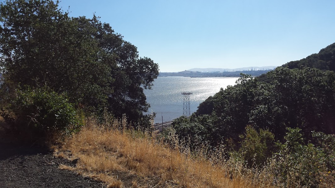
Nice view just beyond someone's backyard!


Just a nice looking tree. I've become a bit of a tree-hugger (photographically speaking). . . .

One gnarly dude!

There is no escape from DIABLO:


At top of highest hill in the park is a Veterans' Memorial. Didn't climb the hill.  Maybe next time.

Path junction, just before a big field with pond to left and path back to bocce courts on right.

From near the park bench in the previous photo:

Nice little pond, with all the ducks in a row, so to speak.

Pair of ducks under the two trees in middle:

A beautiful white bird in the middleof the pond. . . .

Almost looks tropical.

The reedy side of the pond. . . .

Duck, Goose, or a bit of both? 


And back to the parking lot. . . .  on center right of photo.

Just a nice walk in the park!

Thursday, August 13, 2015

Miller Time

So I finished up my second "survey trail" this morning, the George Miller Trail in the Carquinez Strait Regional Shoreline. Piece of cake by comparison to the one I did on Tuesday. And this is the fourth time I've hiked it.  But it seems there's always something in it that I didn't see before.  

Less than one year old, the park was opened only a few weeks before my arrival in Martinez last November. The trail is paved and there's no "obstacle course" of bumpy ground, rocks, roots or trees hemming-in the hikers. I was thinking as I walked it "Like a walk in Central Park!" The views, tho, are much better than those there. . . .


In a cavern, near a canyon, Excavating for a mine,

Lived a miner, forty-niner. . . . 


 (Can't figure out what kind of 

critter, if any, makes its home here.)


Pretty stuff grows just about anywhere. . .


Returning the love to the tree-huggers?


Train a-coming. Good old Union Pacific. . . .


I call them Lloyd, Jeff and Beau. . . .


Seems they want to add some more to this trail. . . .  (Today's trail is the zig-zaggy "out-and-back" one in yellow. Last Tuesday's - up near the hillttops - are the "loop-trails" in green.)


Parking lot at the far west end of the trail. We have no parking lot on the Martinez side; people have to park along the Carquinez Scenic Drive roadway over there.

Just a nice bunch. . . .

The old abandoned brickyard near the west end of the trail . . .

Reversing direction and heading back to Martinez now. This is an "out-and-back" trail.


There's three or four picnic tables at various places along the trail. The trail is so "tame" that a lot of Moms bring their infants in strollers!

Lots of brown leaves on these trees. Some of them look like they're not going to make it thru the end of the summer.


Lord, I was born a bramblin' man. . . .


"Wally World." (Okay, it's not a wall, but looked like it might be from a distance.)


That hawk seemed a lot closer, in person.

And that concludes my survey of Carquinez Strait Regional Shoreline, both the "upper" loop trails - which I hiked up above this one on Tuesday - and this out-and-back "lower" one.  I had fun!